Category Archives: Scotland

Wonderful Wilderness

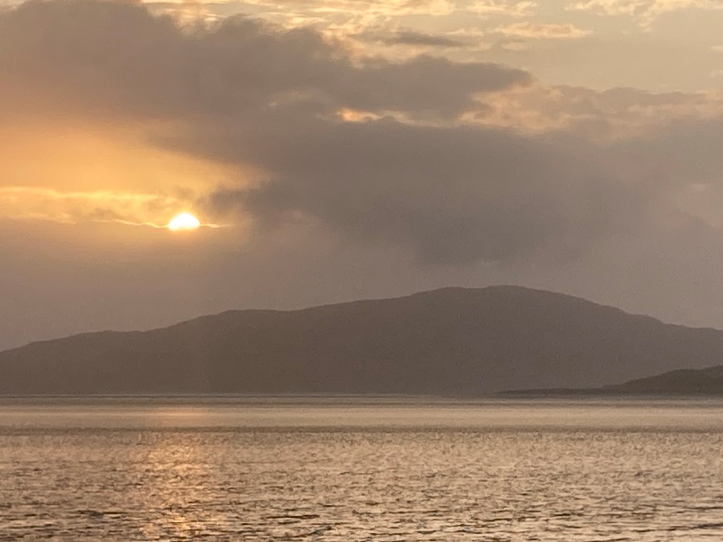
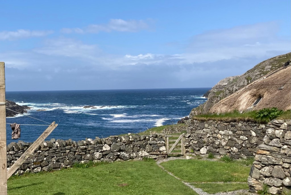
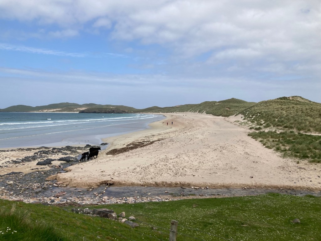
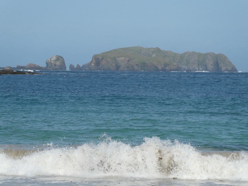
As we finally depart the Outer Hebrides it would be an injustice if we did not share some photos and words that try to capture what we have seen on our 12 day journey from Vesteray in the South through to Lewis in the North

Undertaking this journey as recent as the 1970/80s would have been completely different as not all the causeways in use today existed. This journey through the Outer Hebrides required 3 ferry crossings as we have travelled its length. Back then there would have been 13 to undertake if you had taken our journey. Maybe the land mass broken into islands gives a history that goes some way to explain the sense of similar but not the same that we experienced.

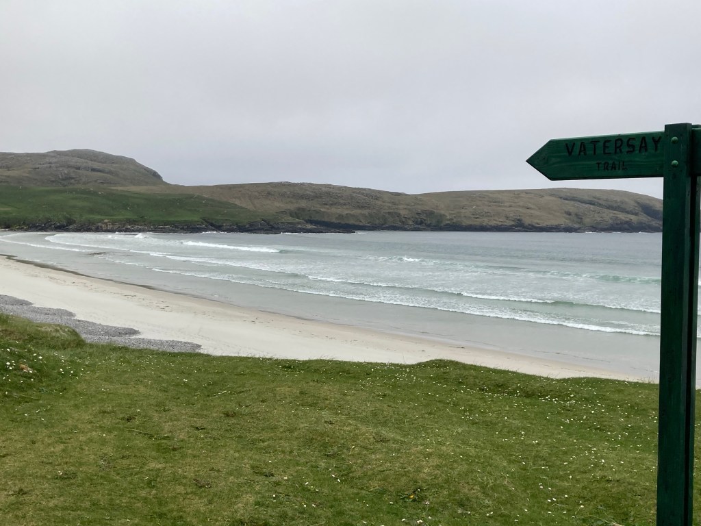
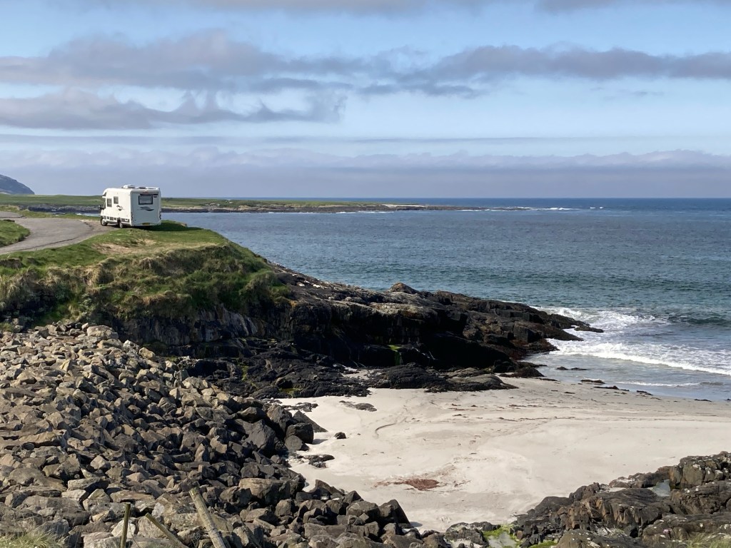
What they do all have in common though is a western shoreline that non stop provides a musical backdrop from waves crashing and wind sounding soft one moment and threatening the next. But then the majority of the western shoreline is looking out towards the eastern seaboard of America, Canada and Greenland so the wind and waves travel a long way.

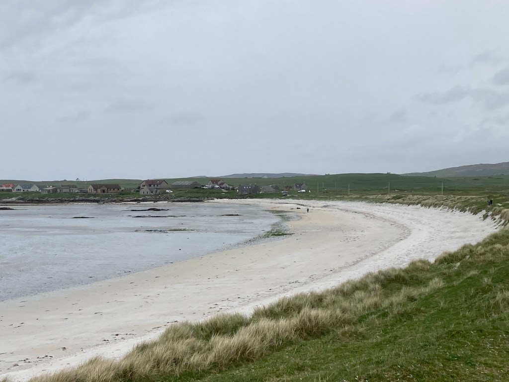
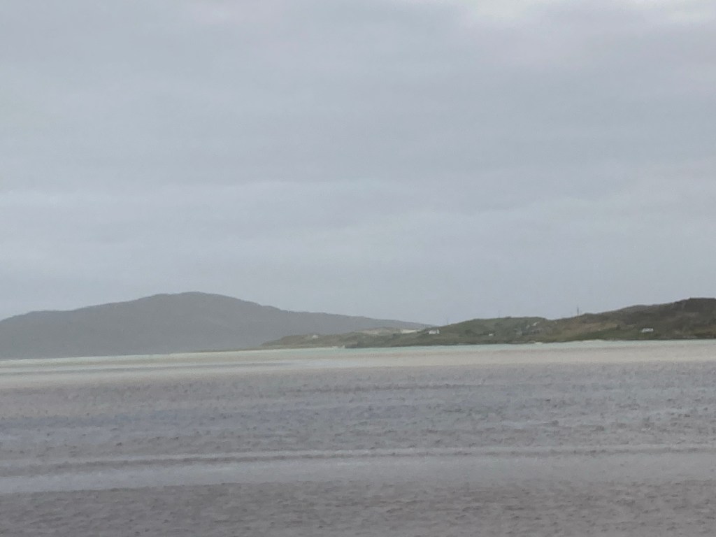
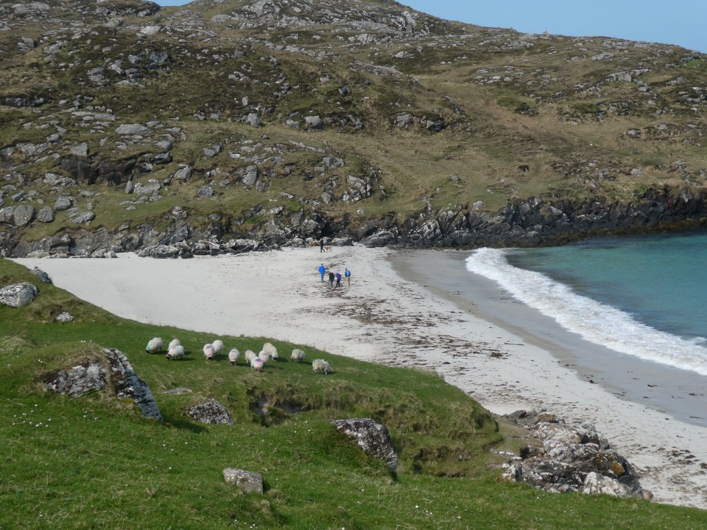
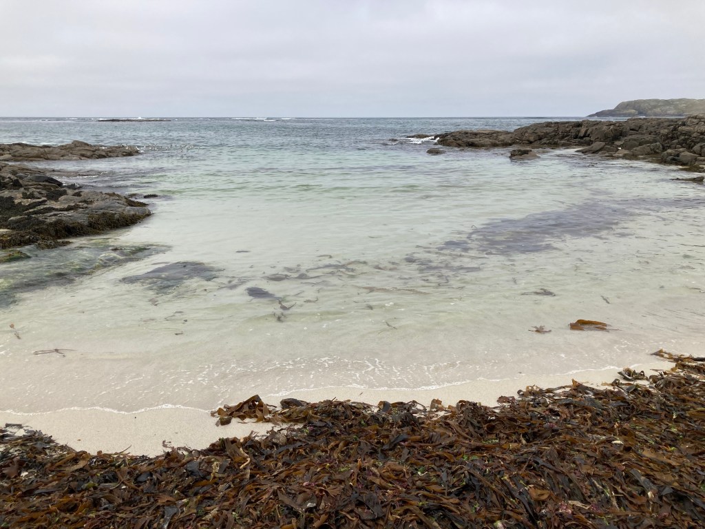
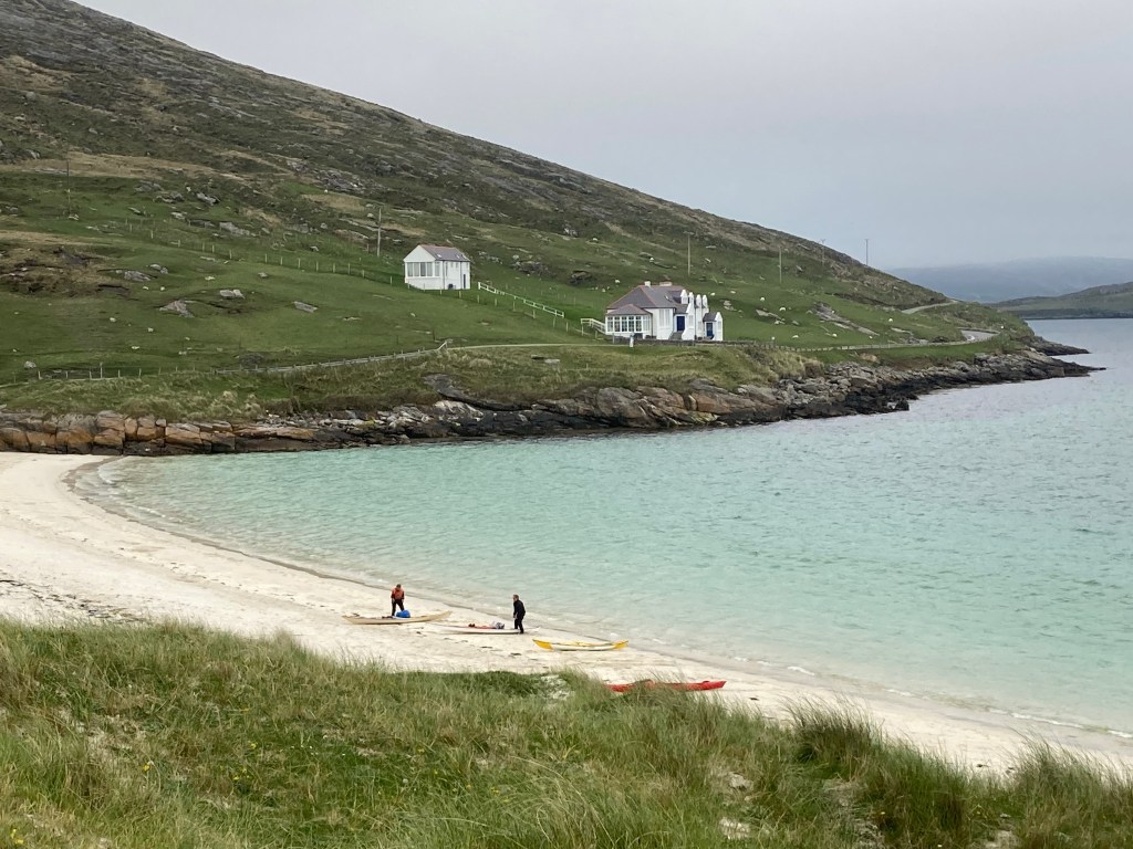
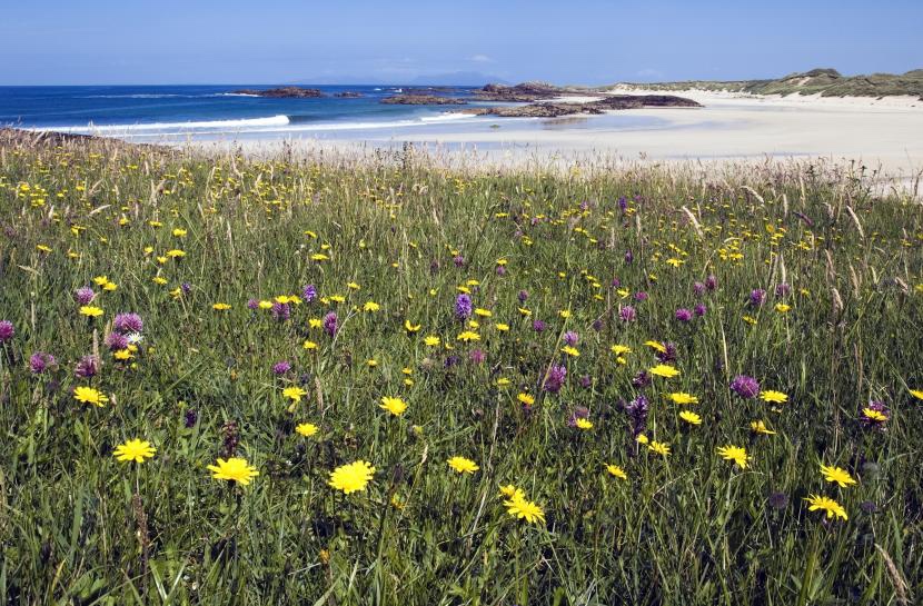
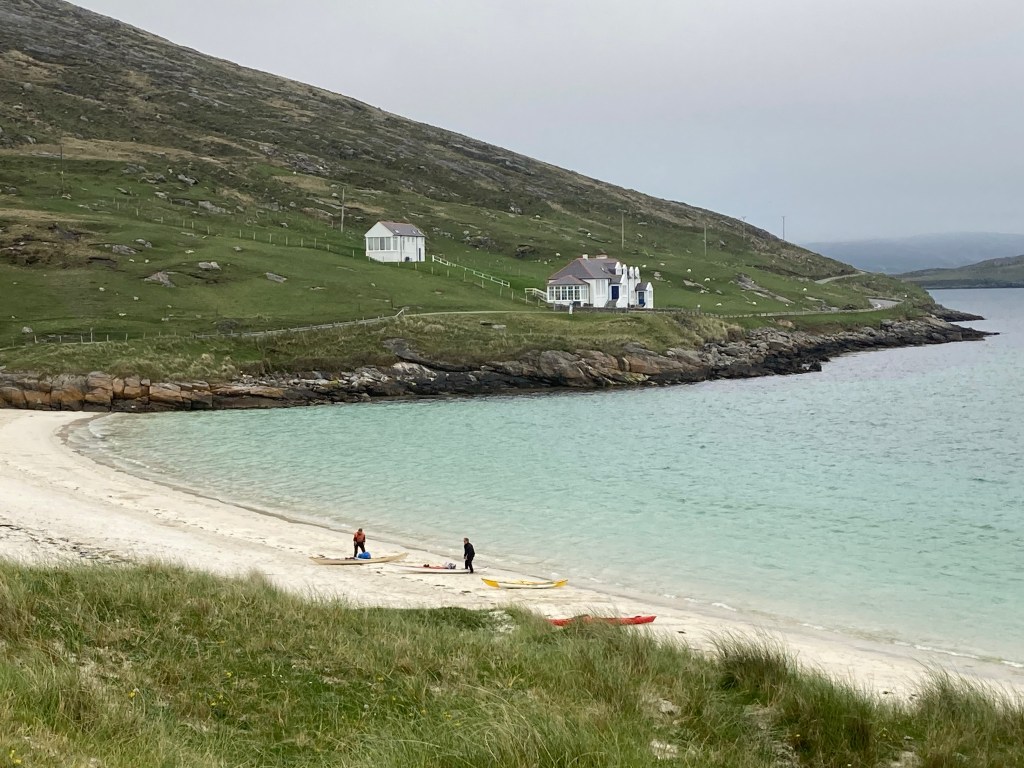
Surprisingly for a part of the United Kingdom we associate with rain and cold, the beaches are blessed with tropical looking seas that range in colour from an aquamarine green through to blue and sands that went from white to various shades of yellow. If only the sun was more consistent!

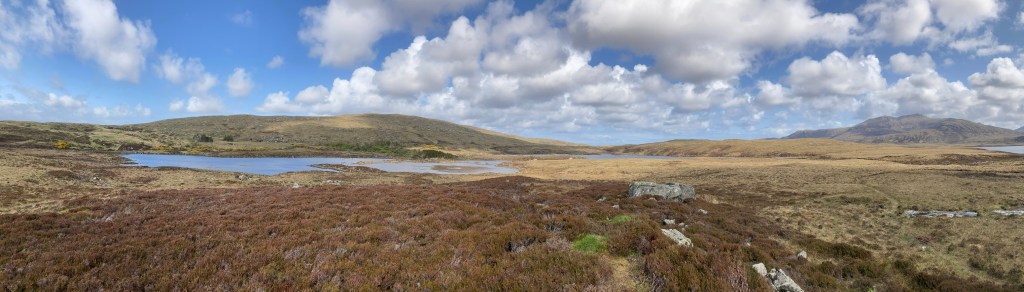
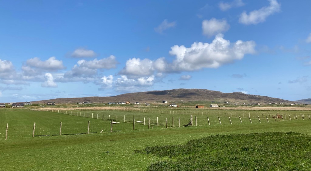
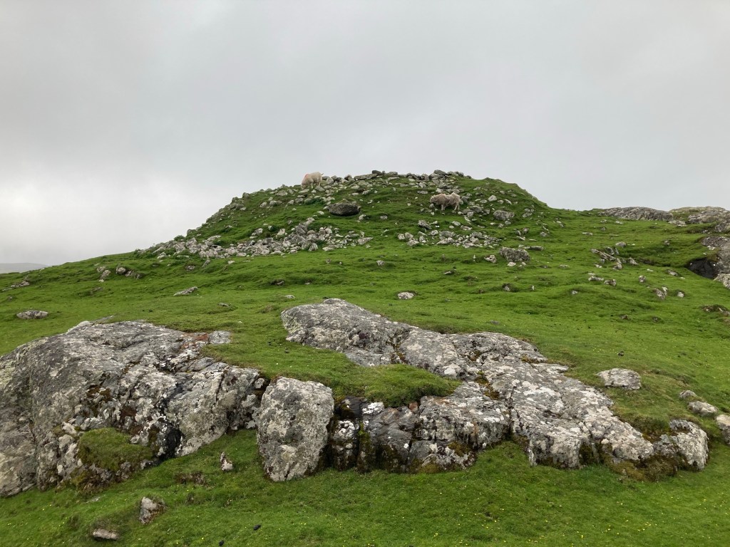
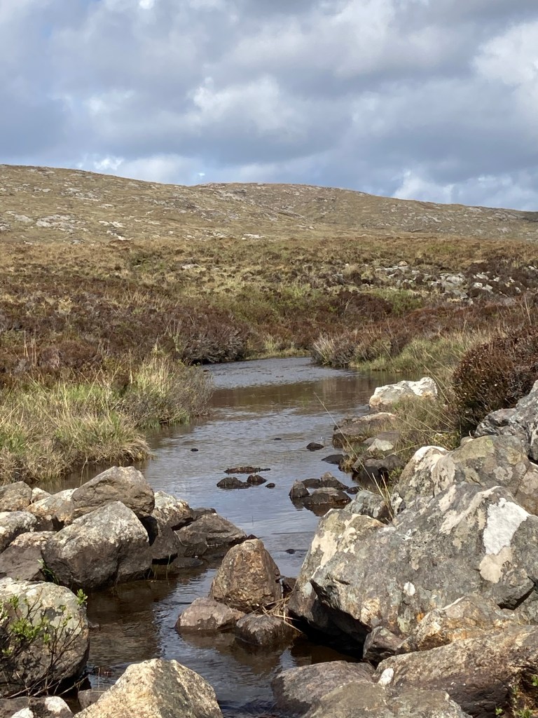
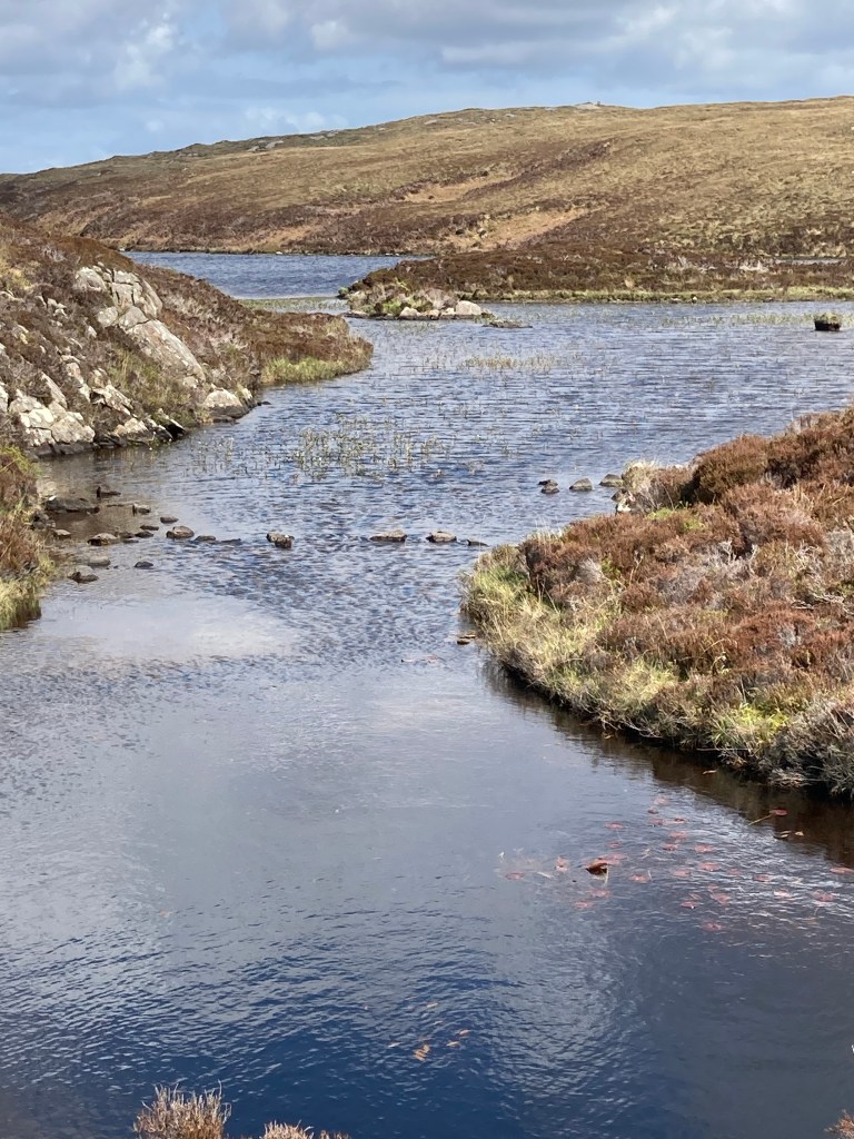
The landscape is just as varied being a mix of rocky outcrops and strong hill ranges in places, with peat fields and bogs extending as far as the eye can see, The peat fields still provide a source of fuel to the islanders with a common sight as we drove around being areas of peat cutting with turves laid out to dry. This dramatic landscape of hill, moors and bogs is then fringed with low lying coastal crofting areas that contain the amazing Machair.
Machair is a Gaelic word and is more than a habitat, it is a blend of:

  • low-lying coastline
  • sand partly consisting of shell fragments
  • the effects of strong winds
  • just the right amount of rainfall
  • the involvement of people and their grazing animals

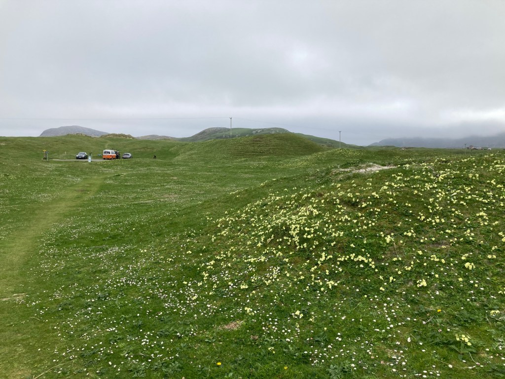
Scotland’s machair is best developed on the Uists, Tiree and Barra.

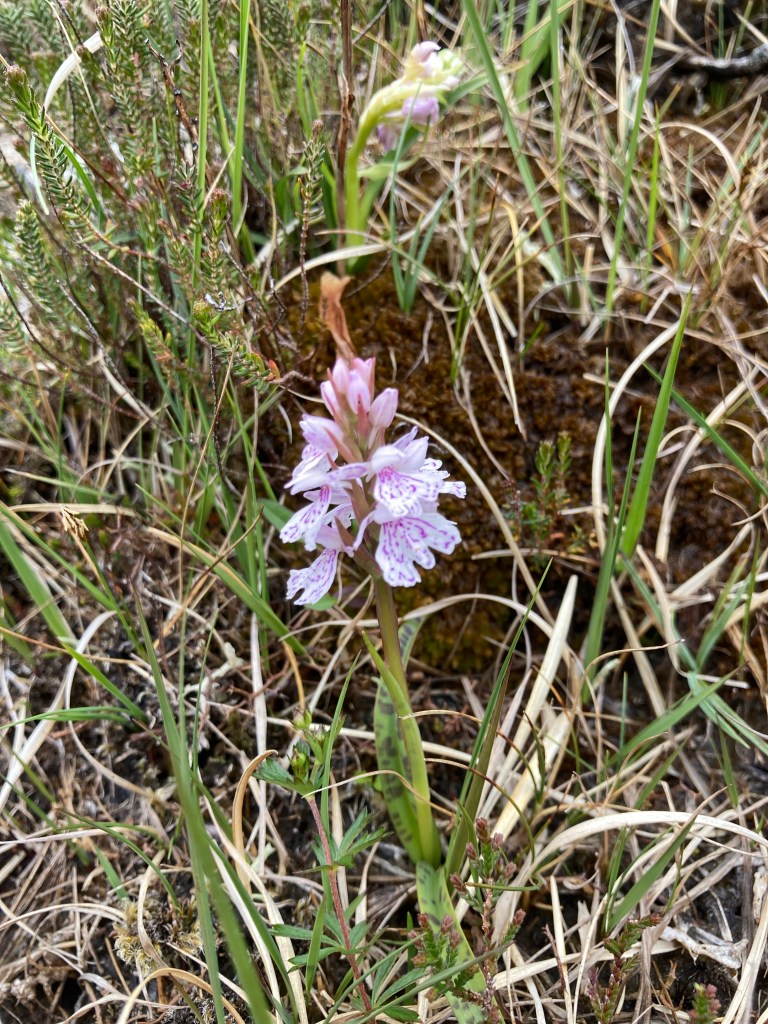
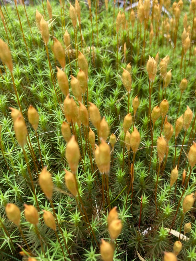
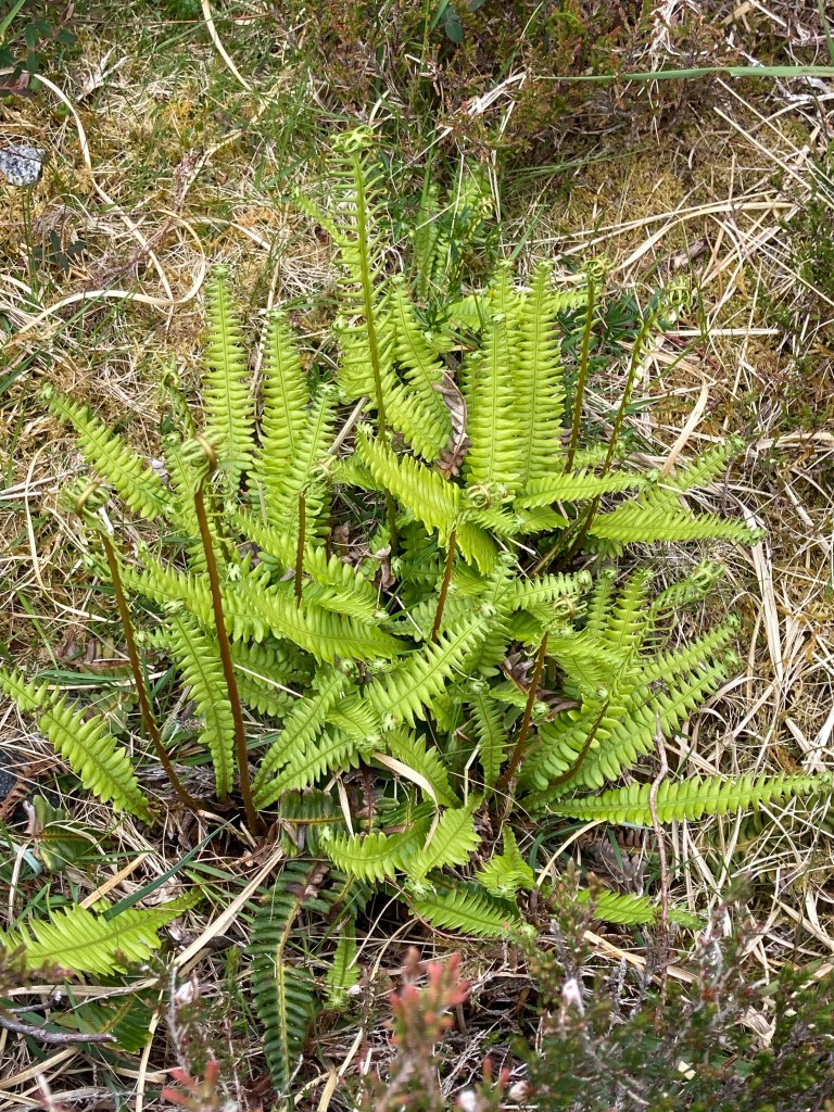
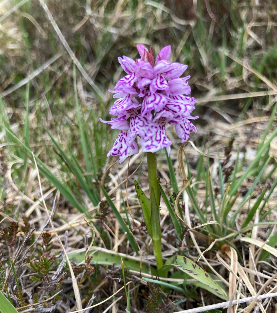
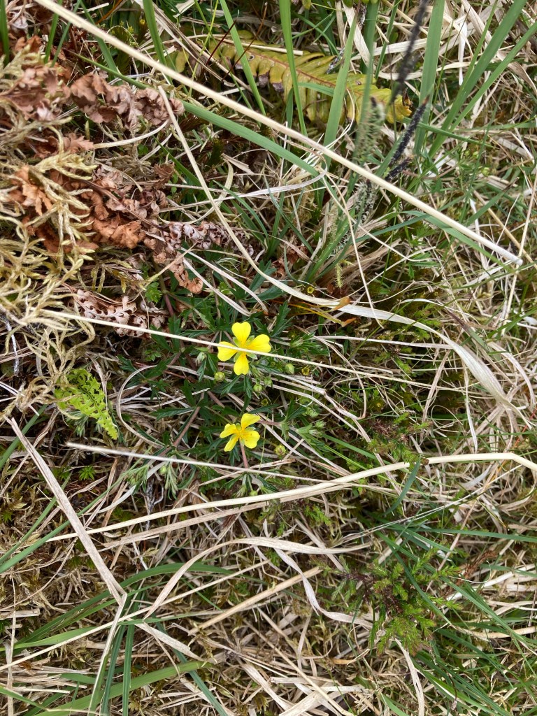
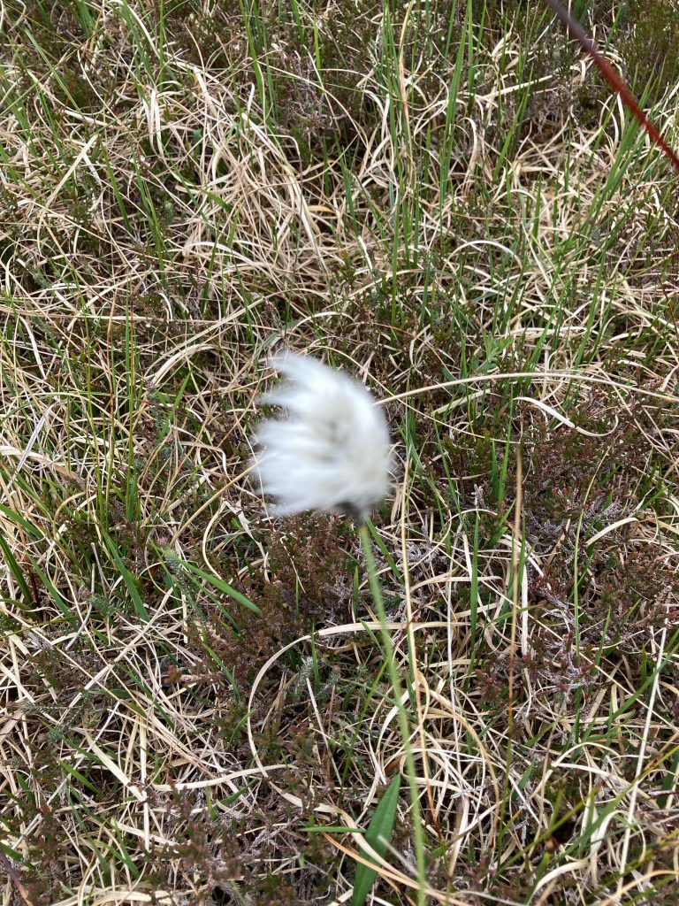
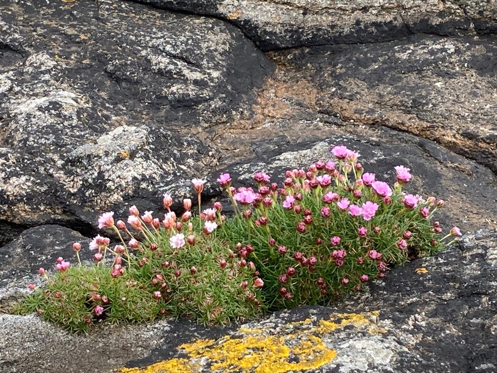
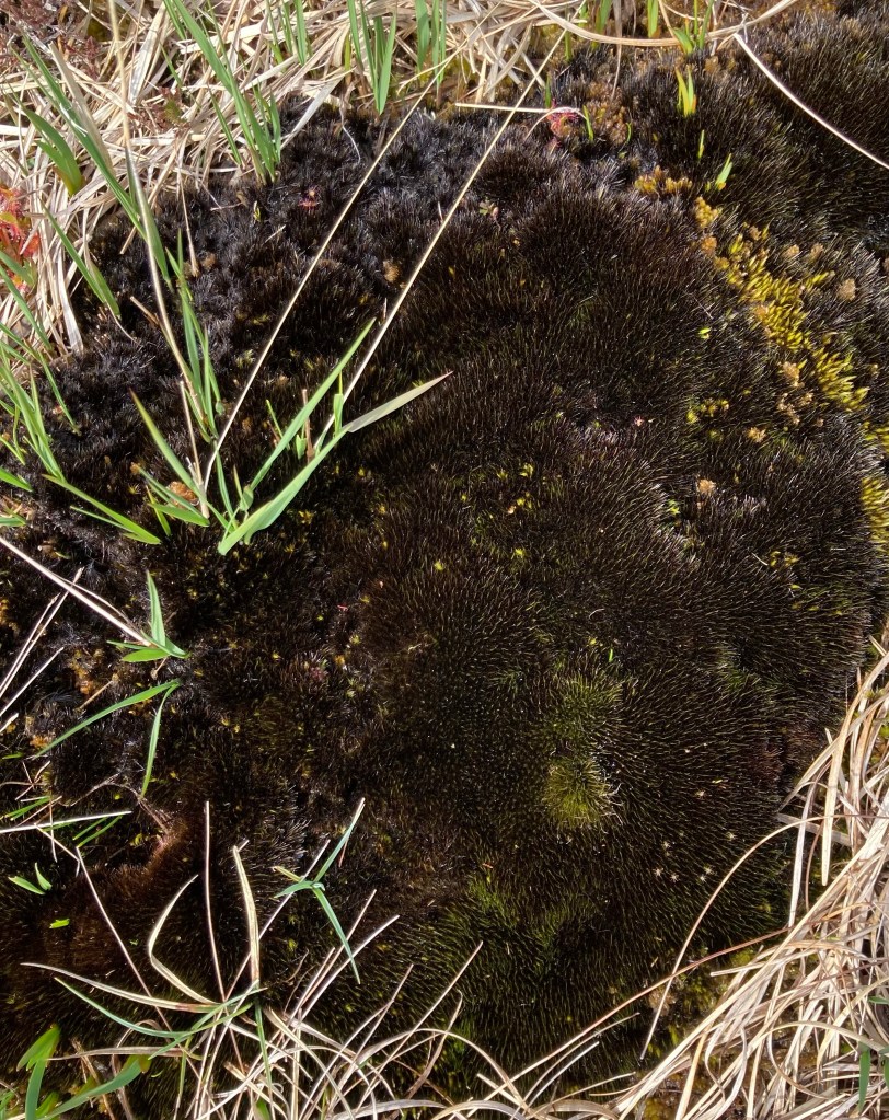
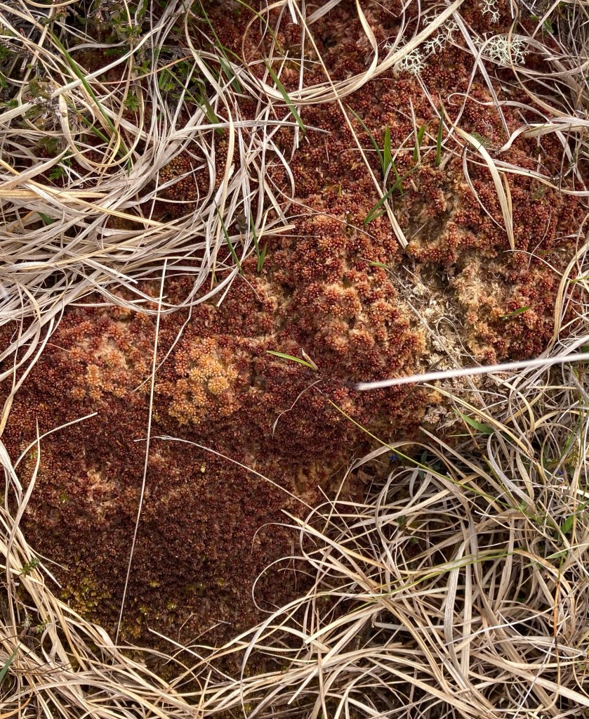
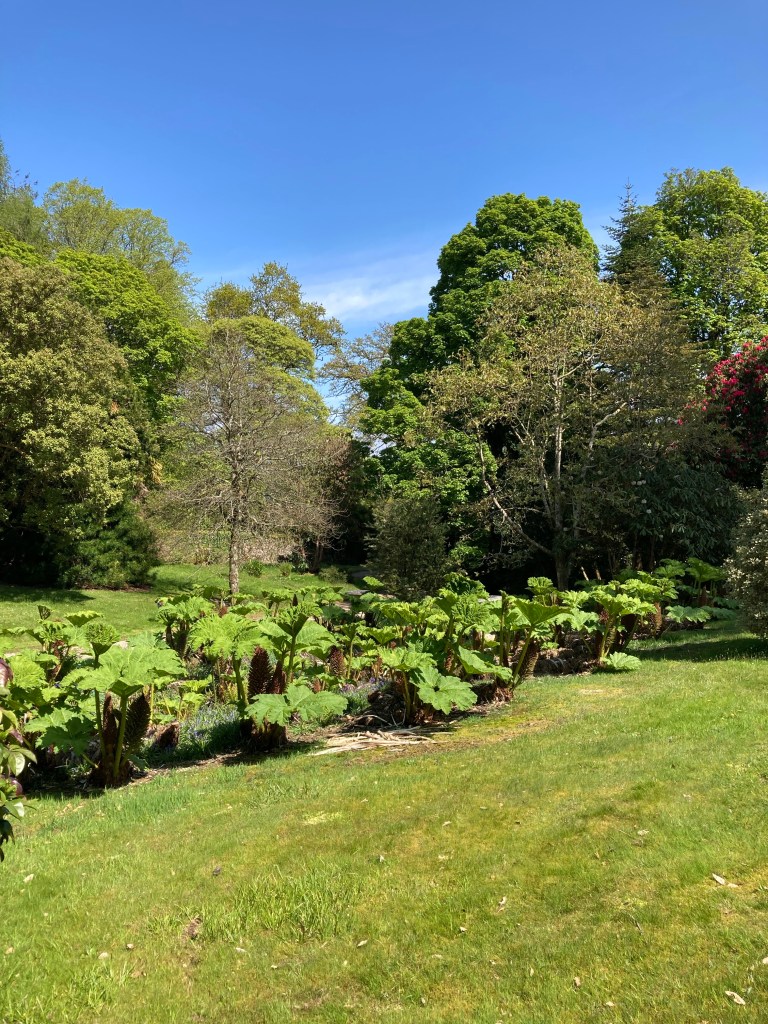
Plants of the Hebridean Landscape included
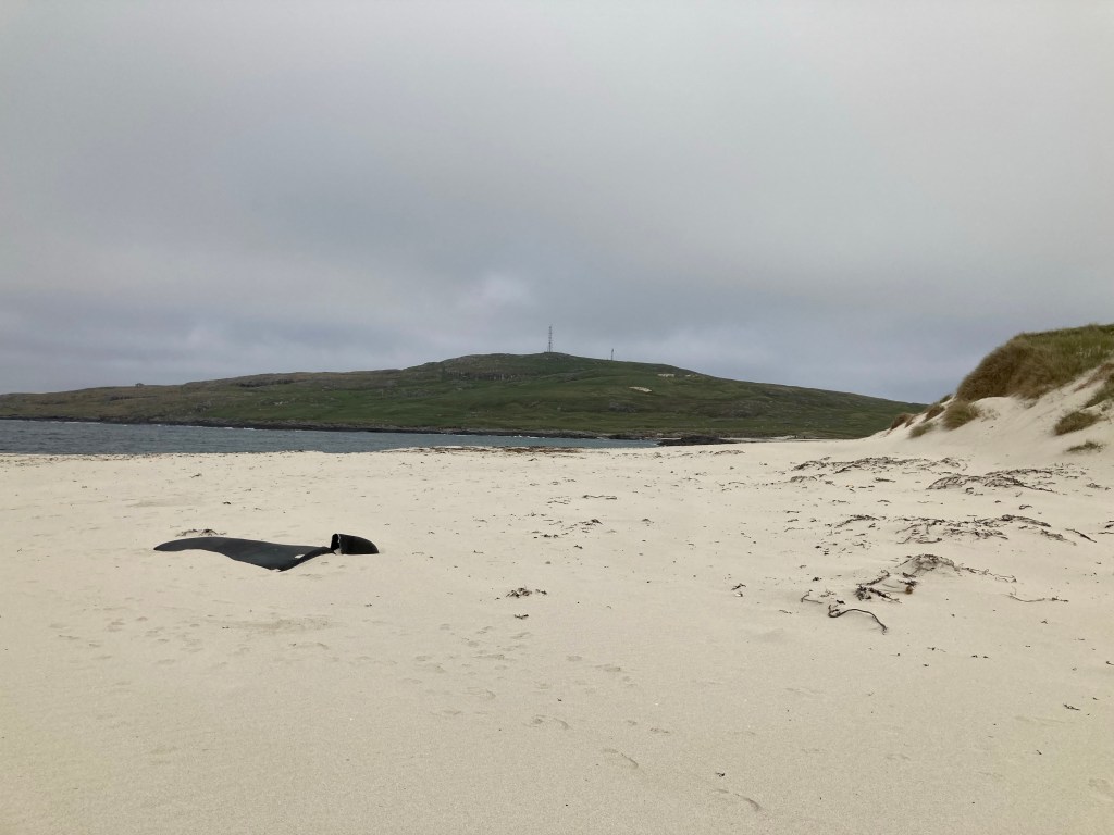
Numerous Beaches and bays all of interest
Birdlife

Mammals
Bottom end of the outer Hebrides

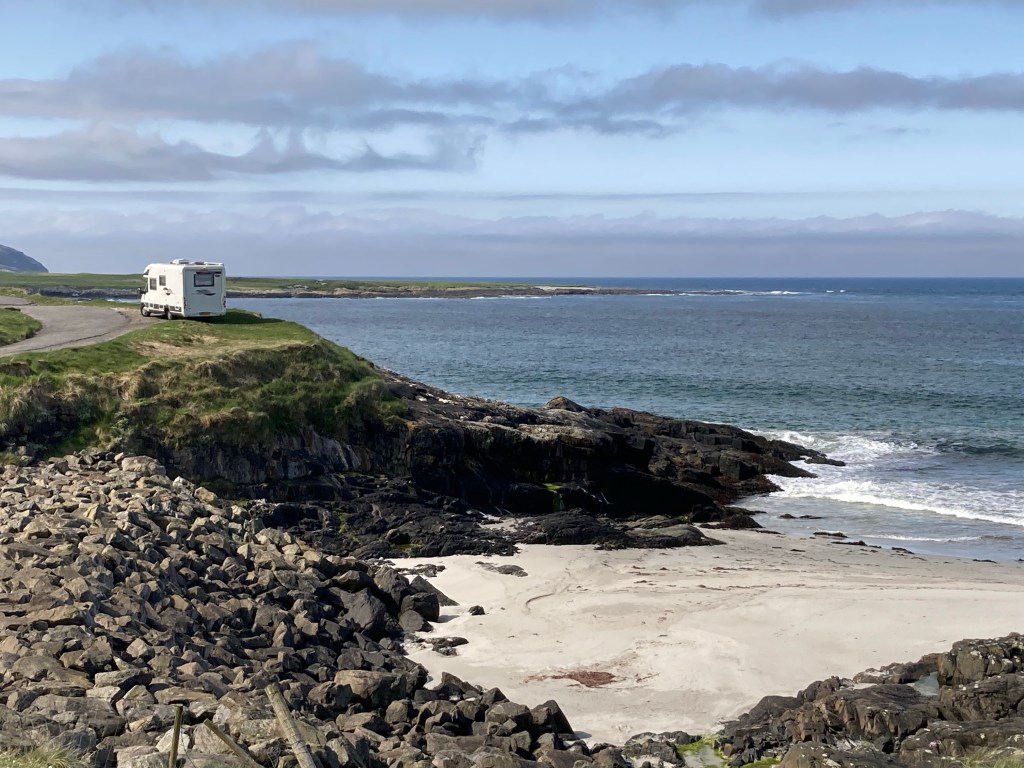
Taking the ferry from Oban we landed on the island of Barra in the early hours of the evening and headed for a designated wild camping space on the western side of the island. Wow had we struck lucky wild crashing waves greeted us and spectacular views over the bay we loved it so much we spent a couple of nights here.

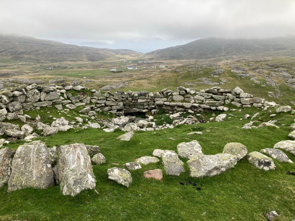
Taking a day time hike we discovered an Iron Age fortified house on top of a hill then dropping down onto the beach found ourselves in close proximity to nesting terns and ringed plovers. To avoid disturbing them we diverted into the sand dunes to find our way back to Vinnie.

The following morning having read a lot on social media about the most southerly populated Outer Hebridean island of Vesteray that has the unique feature in the middle of the island where it narrows to sand dunes with back to back beaches.We decided it was worth a visit but on arrival due to the weather conditions decided it was not for us and decided to head to the north of the island.

En route we passed the ferry terminal and with all the upheaval with ferries and when trying to book our ongoing ferry for Eriskay which was linked by a Causway to south Uist had found there was no access to a booking service on line until the Tuesday four days hence, we decided to go in to the ferry terminal and try and book direct. Finding there was no office service and no staff we thought let’s try our luck and see if we can get on the next ferry out which was leaving within the hour. Yes, no problem on we went with no ticket and no one wanting to take our money either on the ferry or as we drove off the other side so a double bonus of the ferry and a free ride 👍 The only regret was not getting to see the northern end of the island but we have learned that the ferry service in and around the islands are unreliable so you take your chances when you can.

A Gateway of Flowers

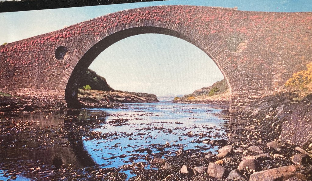
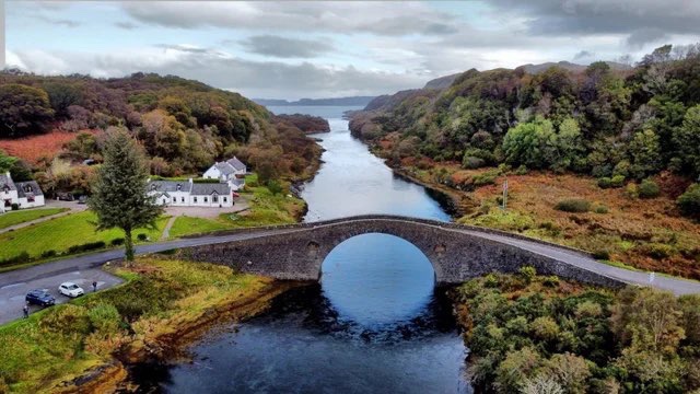
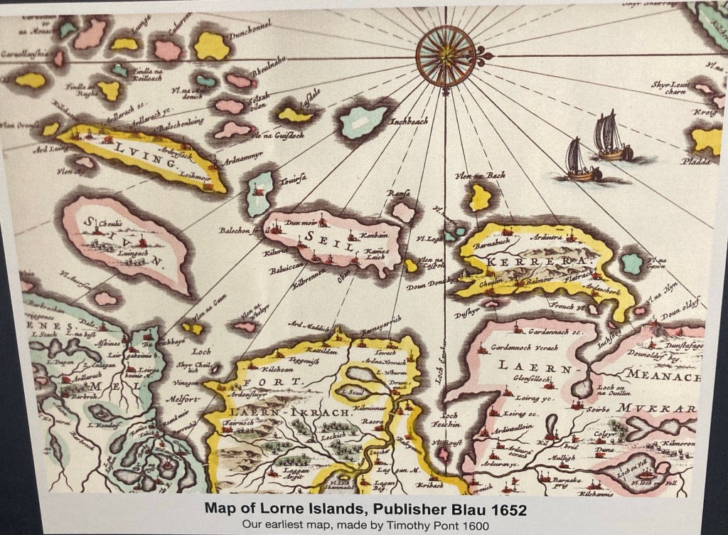
Charles had seen on social media an article on the lesser visited island of Siel around forty minutes south of Oban. Linking Siel to the mainland is the Clachan bridge which spans the Clachan sound, both ends of the sound spill into the Atlantic Ocean giving the bridge its more common name “The bridge over the Atlantic”. In the month of May the bridge becomes a blaze of colour due to the fairy foxgloves that come into full bloom.

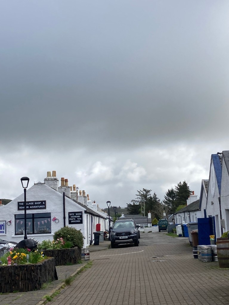
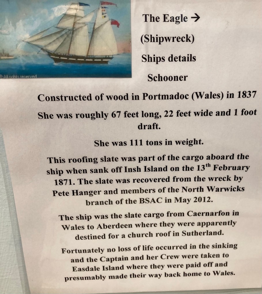
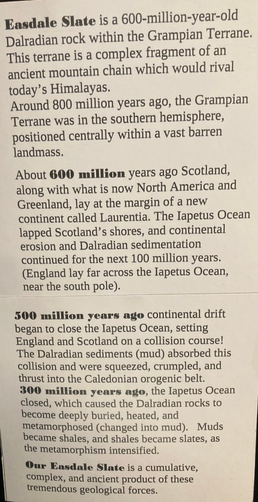
Historically Siel and its neighbouring islands ( known as the slate islands) were the major producers of slate roofing tiles distributed around the world. We stayed at Elenabech a Scottish heritage site consisting mainly of old Quarrymen’s cottages with a small two roomed museum, shop and pub. Yet again we were impressed by the amount of information and the displays within the museum.

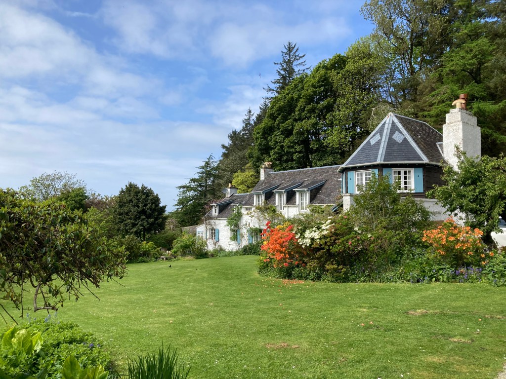
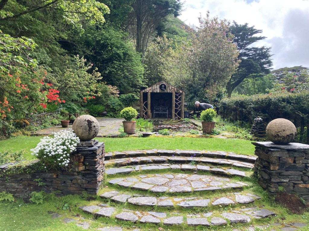
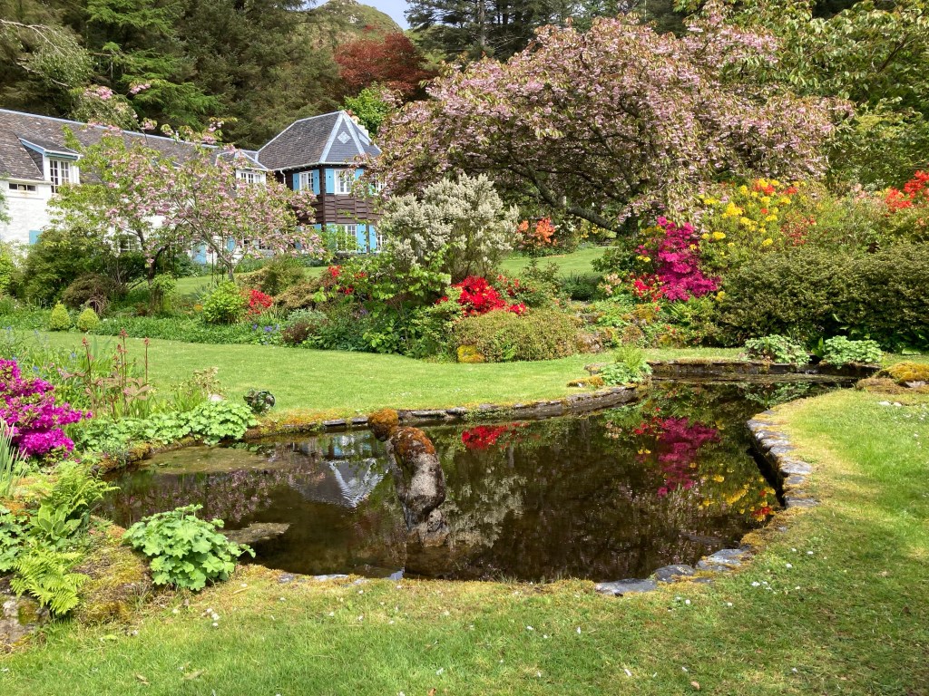
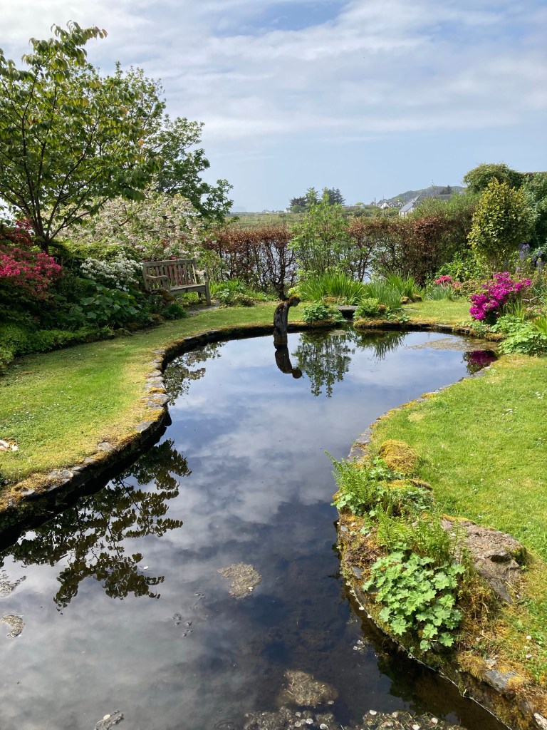
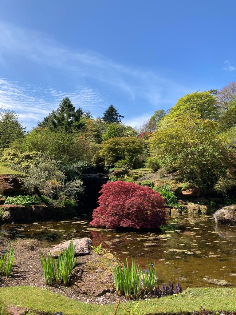
A short walk out of the village, An Clana house was hosting an open garden in aid of cancer. What a beautiful setting for a very understated house and garden overlooking the water with a backdrop of pine trees.

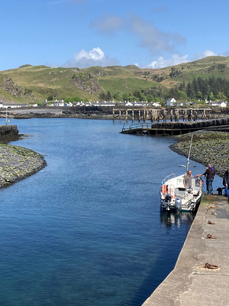
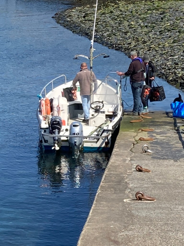
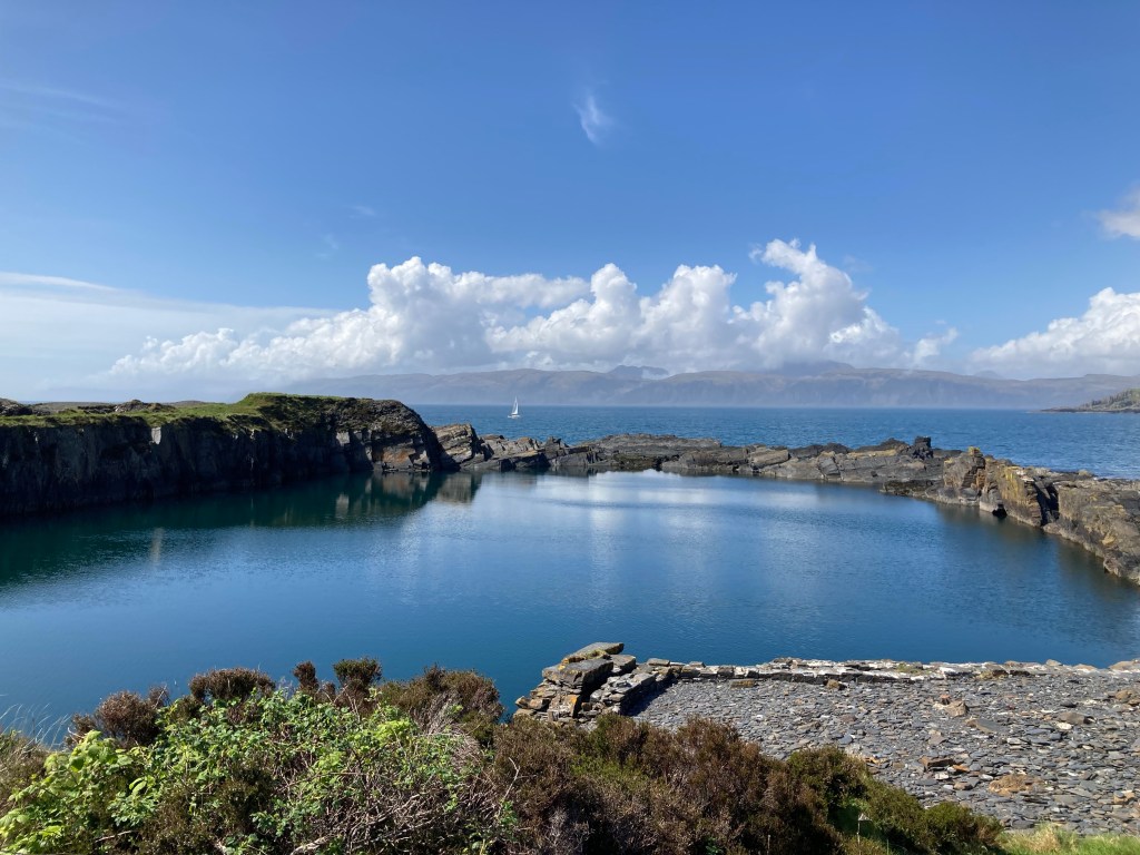
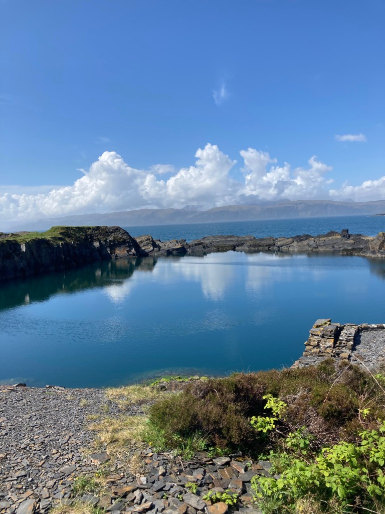
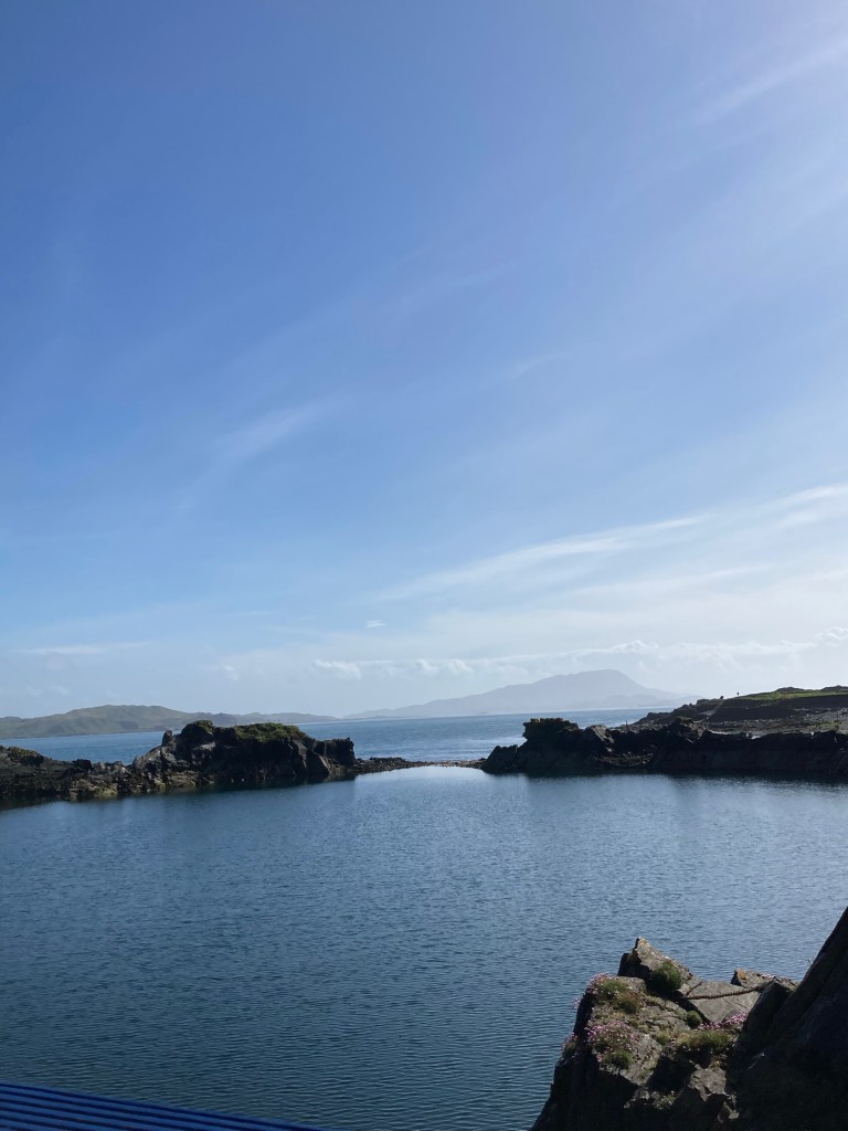
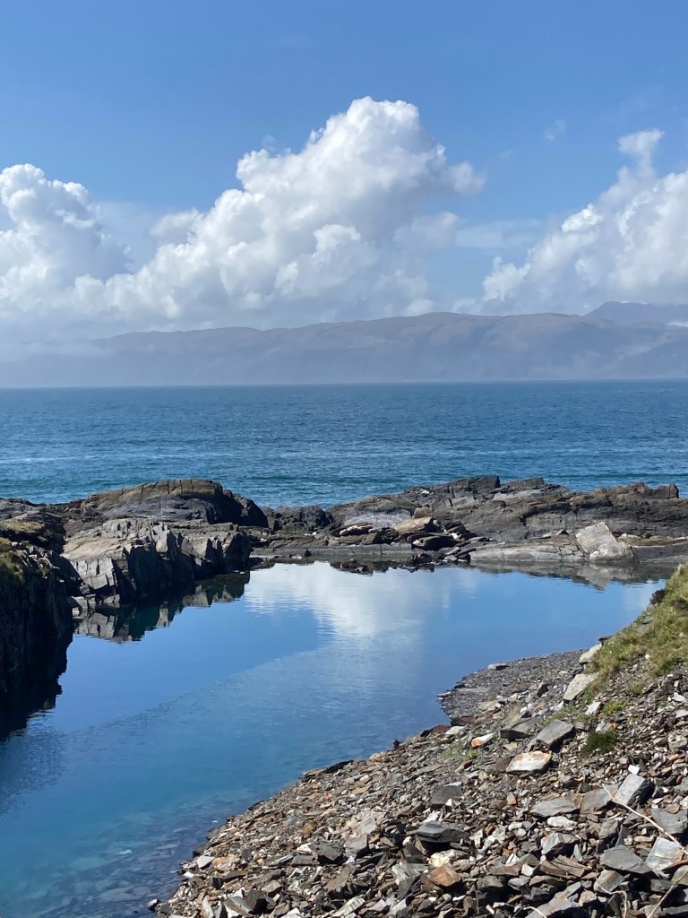
A short boat ride across the water from the harbour at Elenabech took us to Easdale island where nature had started to reclaim the old quarry workings. With a population of fifty two people there were few houses again mainly old quarrymen cottages with a few new builds. As there are no cars or roads on the island it was a pleasure to take a walk around the island which had many paths around the perimeter of the old workings.

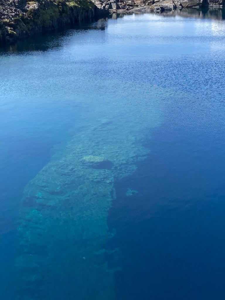
These 2 locations along with a number of near neighbouring islands had been the heart of this Scottish slate industry around the mid 1800’s and at its height employed 250 people. It was competition from other slate producers in the U.K. and Spain and severe winter storms breaching the quarry walls that destroyed the industry. The mining on these islands was by digging into the island rock to a depth in places of up to 200 feet below sea level and leaving the edge of the island reduced in thickness which is where the breach occurred. One such quarry had contained a volcanic lava extrusion in the slate seam but they had quarried around it leaving a eerie shape in the flooded quarry.